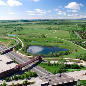
19th Street Bridge Project
The University of Colorado, Boulder is constructing an ADA compliant bridge from 19th/Grandview to the main campus. As part of the project, CU will erect a temporary bridge to access the area to the south of Boulder Creek. For more information, please visit CU's project webpage
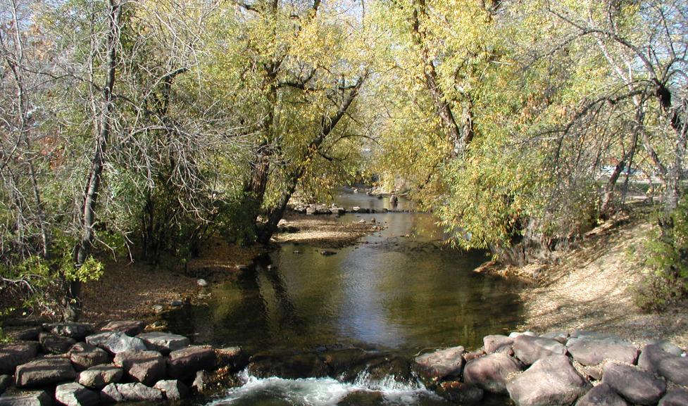
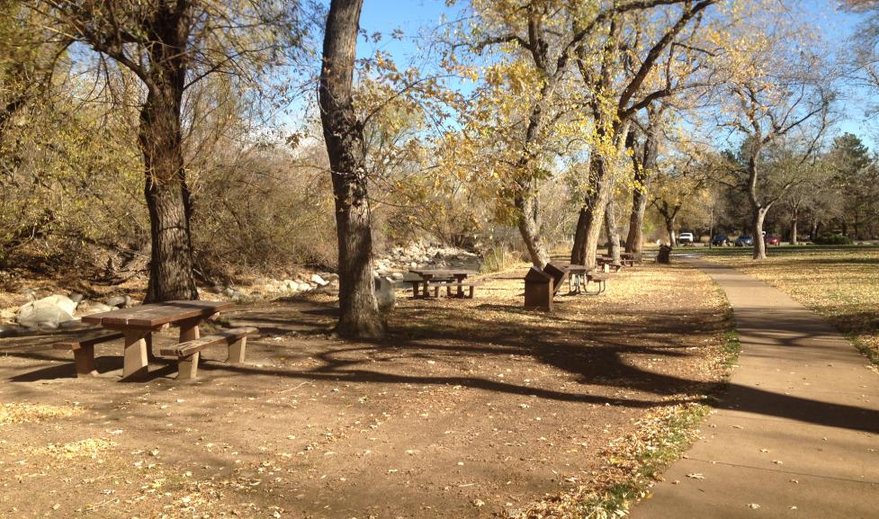
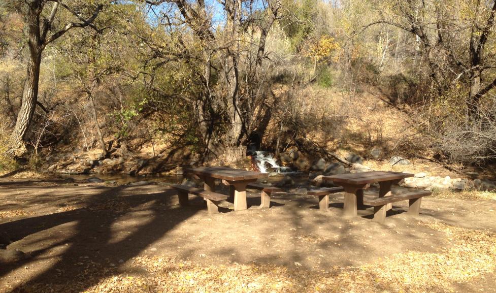
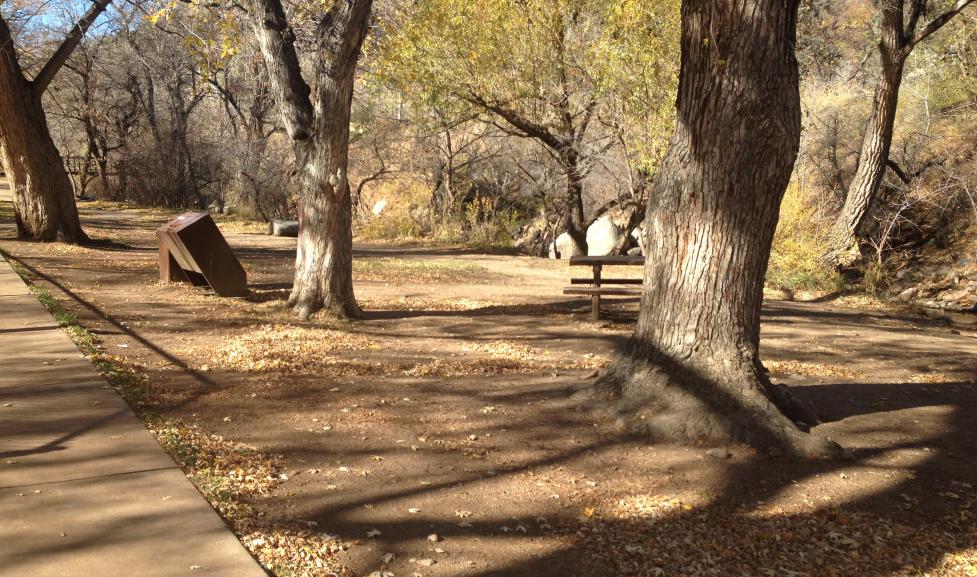
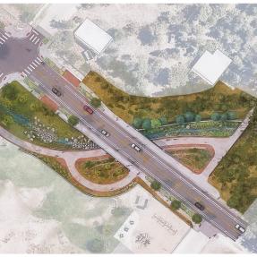
Eben G. Fine Park Streambank Restoration Project
The Eben G. Fine Park Stream Bank Restoration project included stream bank stabilization, erosion protection, habitat restoration, and recreation enhancements within Eben G. Fine Park between the northern sidewalk and Boulder Creek. The Project was completed in June 2016.
Boulder Creek Mapping and Mitigation Information
Boulder Creek Floodplain Mapping Update
The Boulder Creek Floodplain Mapping Study evaluated the floodplain from the area west of 61st Street, upstream to the mouth of Boulder Canyon, west of Boulder city limits. The study area included an area of 5.5 square miles.
Based on this study, the city has developed new floodplain maps for Boulder Creek that replace both the Federal Emergency Management Agency (FEMA) Flood Insurance Rate Map (FIRM) and the City of Boulder floodplain map. The Boulder Creek floodplain mapping became effective on December 7, 2017.
The floodplain maps were developed based on:
- Updated topographic data,
- Updated floodplain, floodway and high-hazard zone boundaries, and
- City improvements that help reduce flooding along Boulder Creek.
City Council adopted the Boulder Creek floodplain mapping study on Sept. 18, 2012. In November 2013, FEMA accepted the results of the study and will be adopting the new mapping through the Physical Map Revision process, a process that can take several years. FEMA released Preliminary Flood Insurance Rate Maps (FIRMs) on July 23, 2015 and held an Open House meeting Wednesday, Sept. 16, 2015. These maps are available on FEMA's website: FEMA Flood Map Service Center
Boulder Creek Restoration Master Plan
The Boulder Creek Restoration Master Plan PDF is a joint effort with the City of Boulder, the Mile High Flood District, Boulder County and the City of Longmont.
Boulder Creek Flow Rates
General Information
The flow rate of a creek, river or flood is measured by quantity over time. This is referred to as “discharge”, the rate at which a volume of water passes a specific point in a specific amount of time. Discharge is typically measured in cubic feet per second, or cfs.
Flow Rates
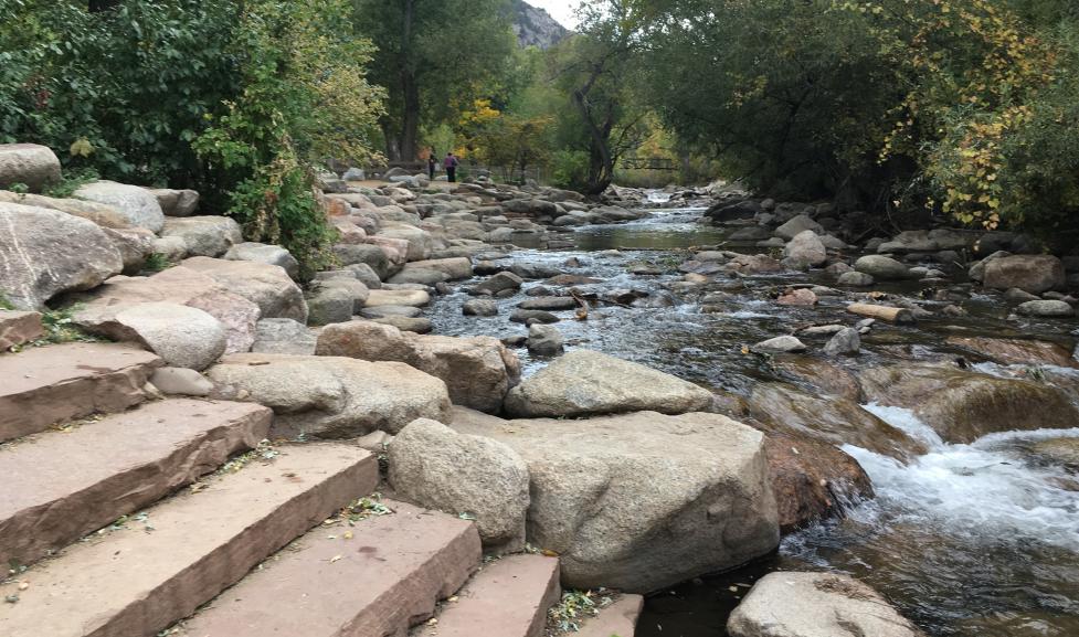
Variable Flow Rates in Boulder Creek
Boulder Creek flows vary throughout the year based on the season. Snowmelt and spring rains usually bring the highest flows to the creek in May or June. The springtime filling and spilling of upstream Barker and Silver Lake reservoirs also elevates flow in the creek, and precipitation any time of year can increase creek flows. During runoff or precipitation events, flows may come up over the banks, and Boulder Creek Path underpasses are sometimes closed. Community members are urged to take caution near the creek during high flow periods and inclement weather.
During lower flow periods from late summer through early spring, water flows well within the creek banks. The city’s Instream Flow Program can add water to the creek during low flows to support aquatic habitat.
Predicted Flow Rates for Boulder Creek at Broadway
| FLOOD EVENT | PEAK FLOW |
|---|
| 10-year | 2,200 cfs |
| 25-year | 5,580 cfs |
| 50-year | 8,000 cfs |
| 100-year | 12,000 cfs |
| 500-year | 21,800 cfs |