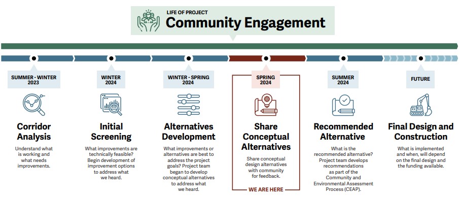
Project Overview
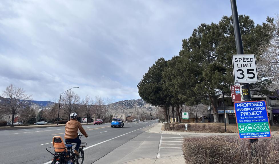
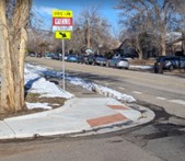
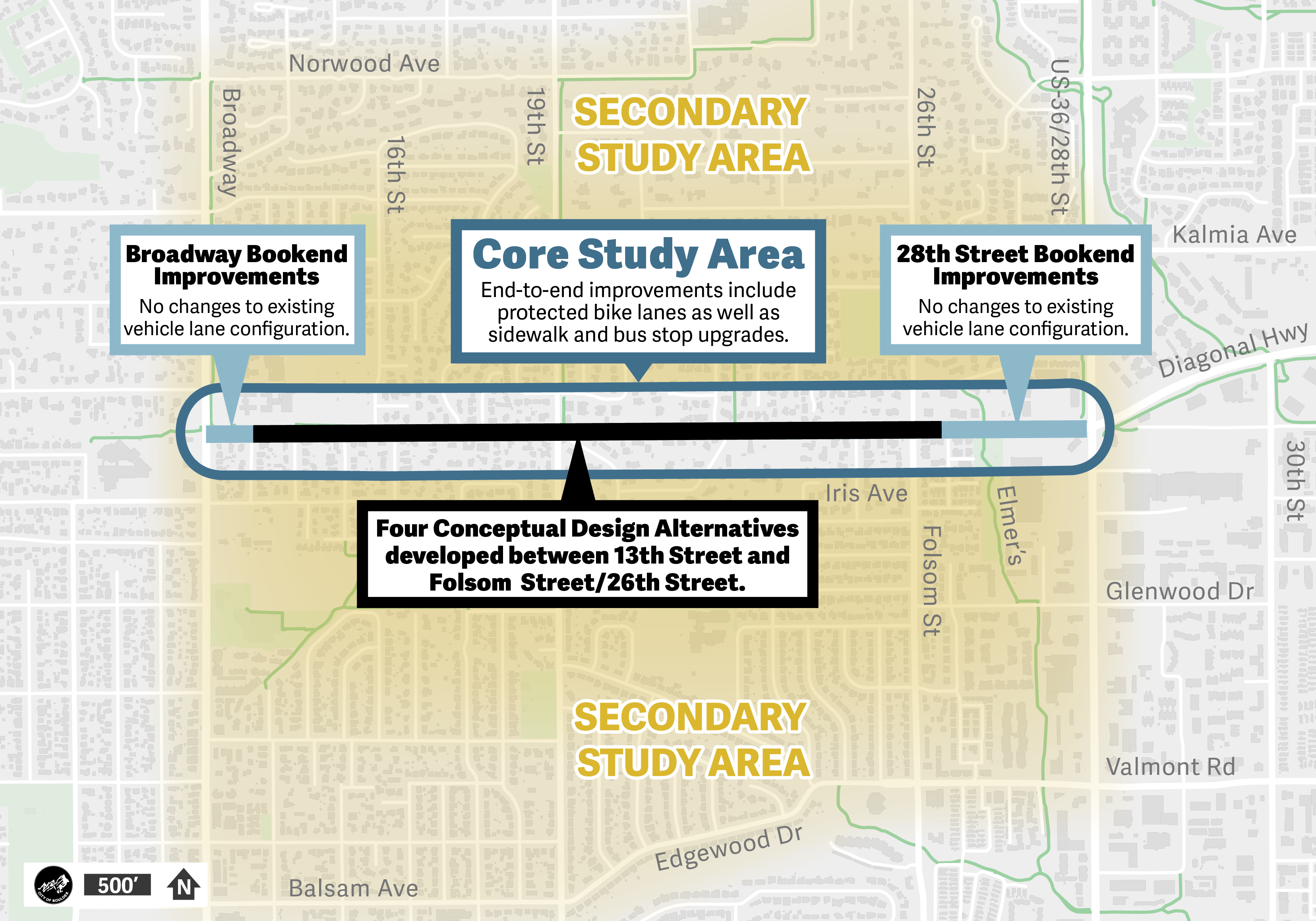
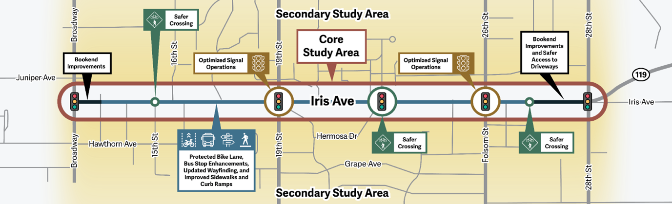
The Iris Avenue Transportation Improvements Project will identify and implement ways to make Iris Avenue between Broadway and 28th Street safer, more connected and more comfortable.
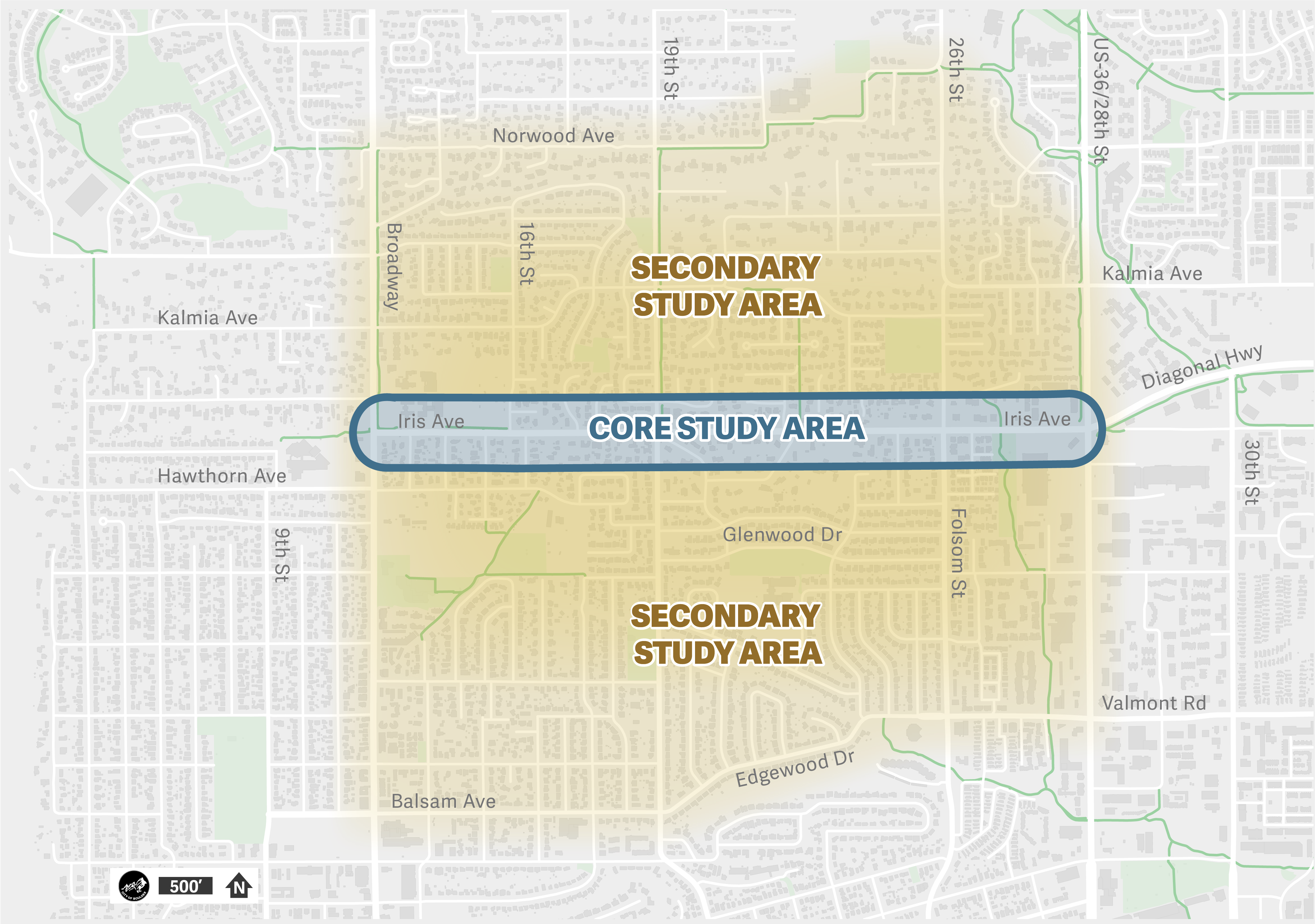
The core study area extends east and west on Iris Avenue from Broadway to 28th Street. The secondary study area extends north and south of Iris Avenue, from roughly Norwood Avenue to the north and Balsam Avenue/Edgewood Drive to the south. The city is evaluating improvements such as traffic calming on nearby streets as a concurrent project.

