Neighborhood GreenStreets are an important part of the city's Low-Stress Walk and Bike Network Plan. The plan aims to provide safe and comfortable experiences for people biking and walking through a connected pedestrian and bicycle network. GreenStreets are identified in both the Low-Stress Walk and Bike Network Plan and Transportation Master Plan, and are part of our Vision Zero goal to end severe crashes.
Neighborhood GreenStreets are low-traffic streets prioritized for making walking and biking comfortable for people of all ages and abilities. The city uses safety signage, crossings, paint markings and other installations on these streets to reach these goals.
Overview
Program status
On pause
The Neighborhood GreenStreets program is paused following direction from City Council to shift limited resources to the city's Core Arterial Network. The majority (65%) of severe crashes happen on these "arterials," the city's busiest streets. Prioritizing improvements to these arterials will help lead to the biggest safety improvements for everyone traveling in Boulder.
Additional ongoing work that supports improving travel safety and comfort includes the city’s Pavement Management Program (PMP). The program incorporates bicycle and pedestrian facility improvements into scheduled pavement work to help make our streets safer for walking and biking.
What is a GreenStreet?
GreenStreets are comfortable places for people to walk and bike due to street design installations that improve safety, enhance navigation and visibility, lead to low vehicular traffic speeds, and more. The city makes these changes using the GreenStreet toolkit below and information about the street, people using it, and its unique needs.
Find a GreenStreet
Explore existing and proposed GreenStreets with the map below. The map also includes designated bike routes, multi-use paths and the on-street bike network.
City of Boulder Neighborhood GreenStreets Map
Greenstreet Toolkit
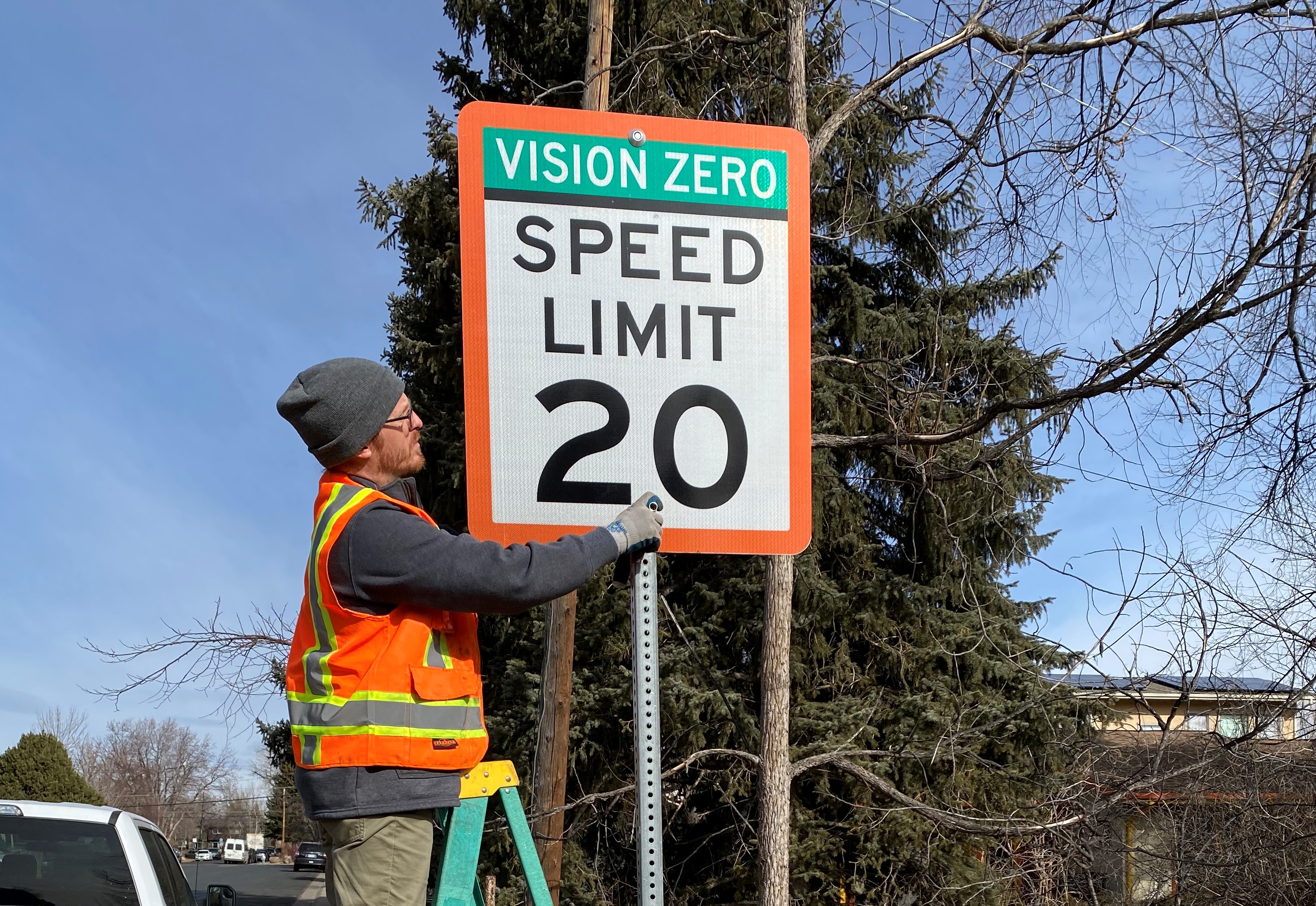
Slower vehicle speeds reduce the frequency and severity of collisions and increase safety for people biking and walking. To support this goal, the city lowered the speed limit for all residential streets to 20 mph.
Image
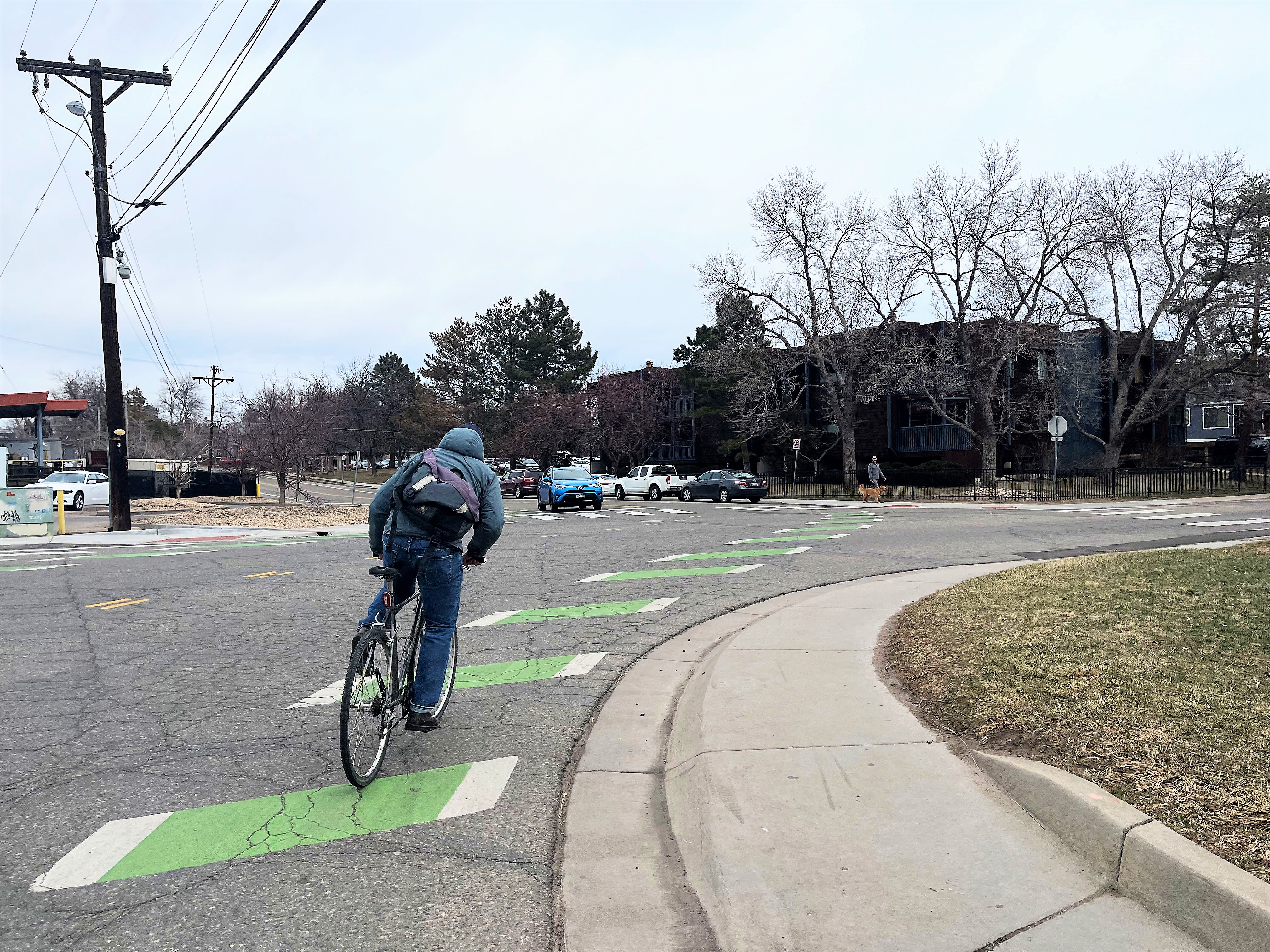
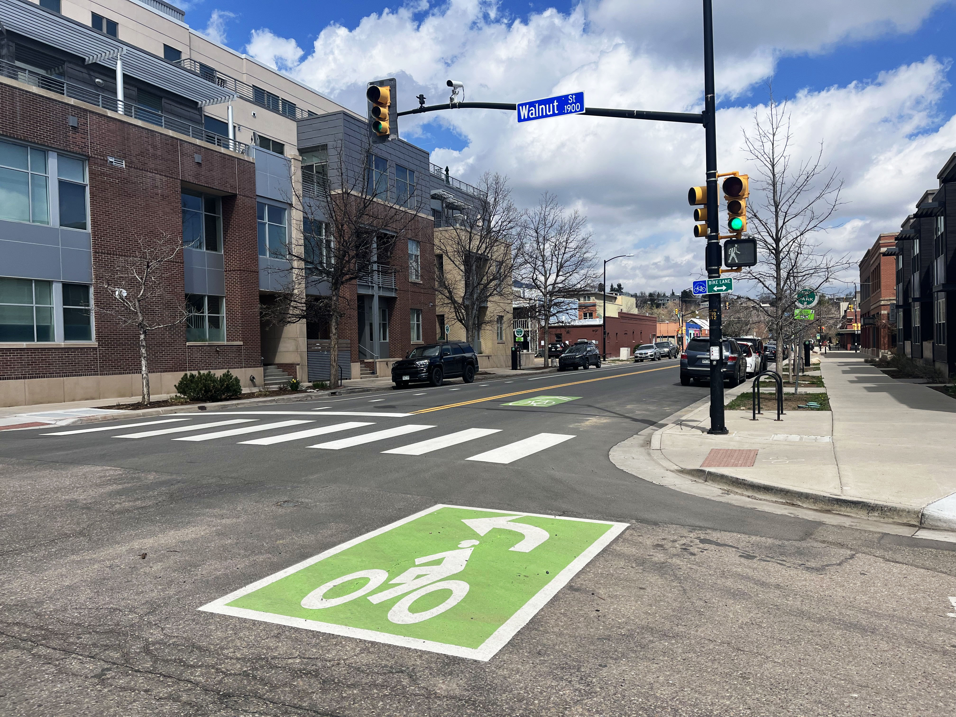
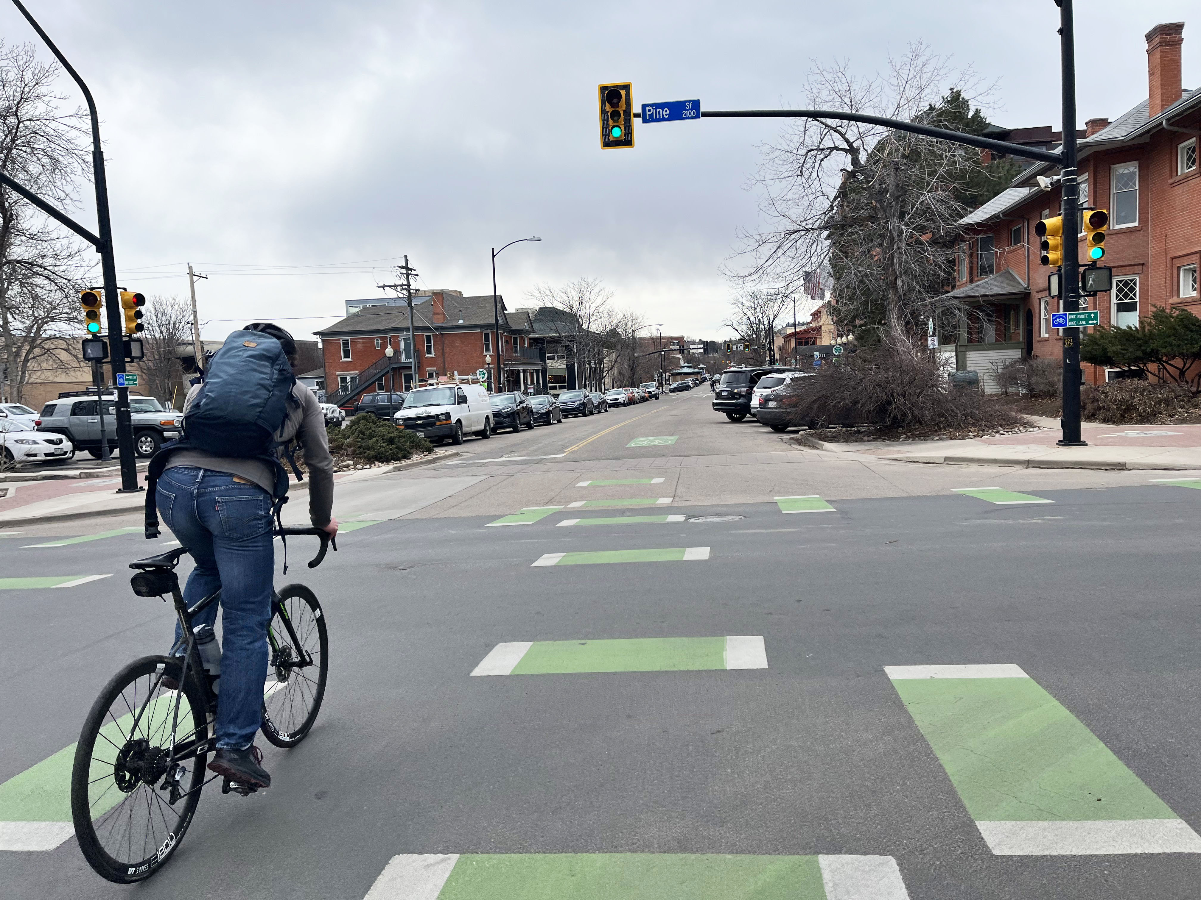
Green pavement markings improve the visibility of people on bicycles. They emphasize places where paths intersect between the vehicle travel lane and the bike lane.
Image
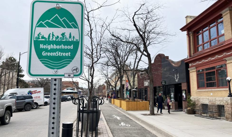
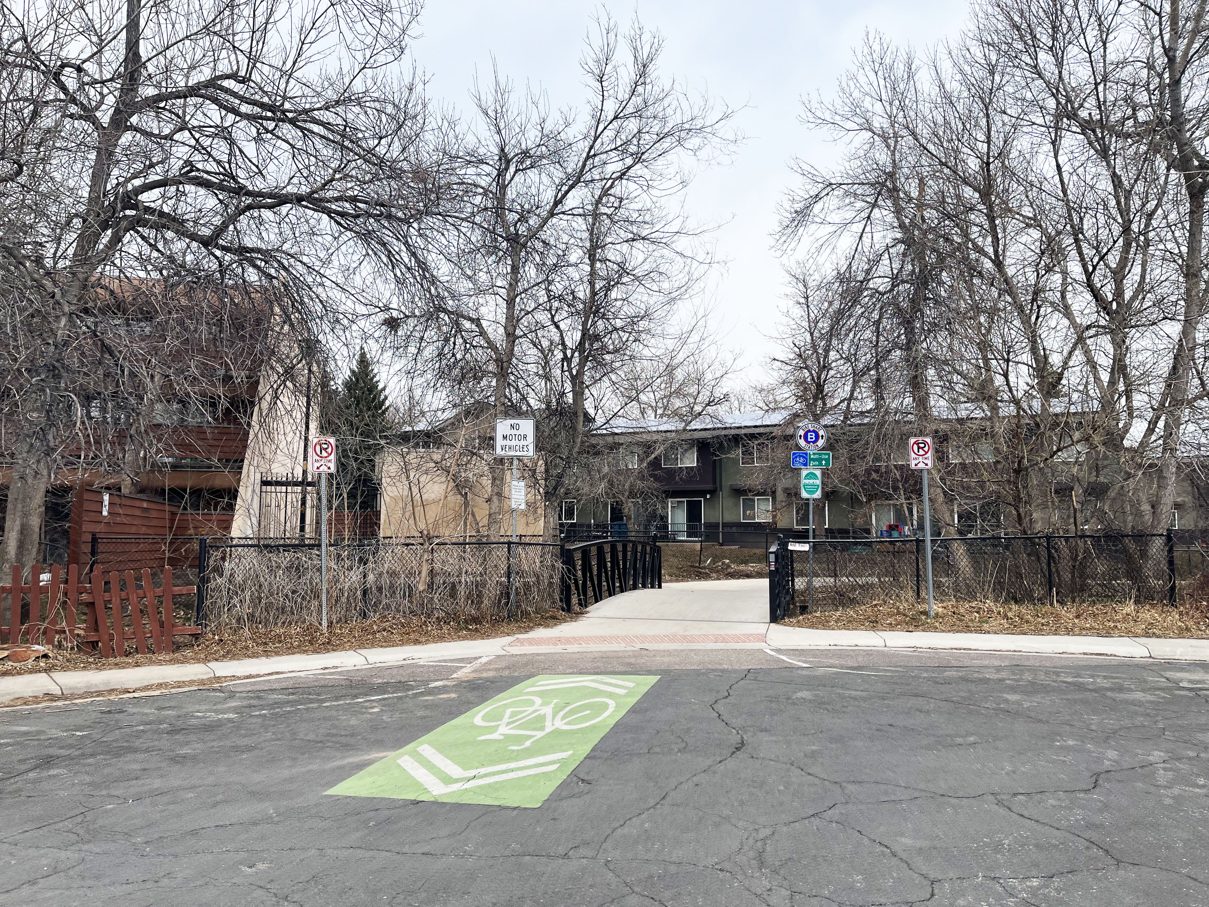
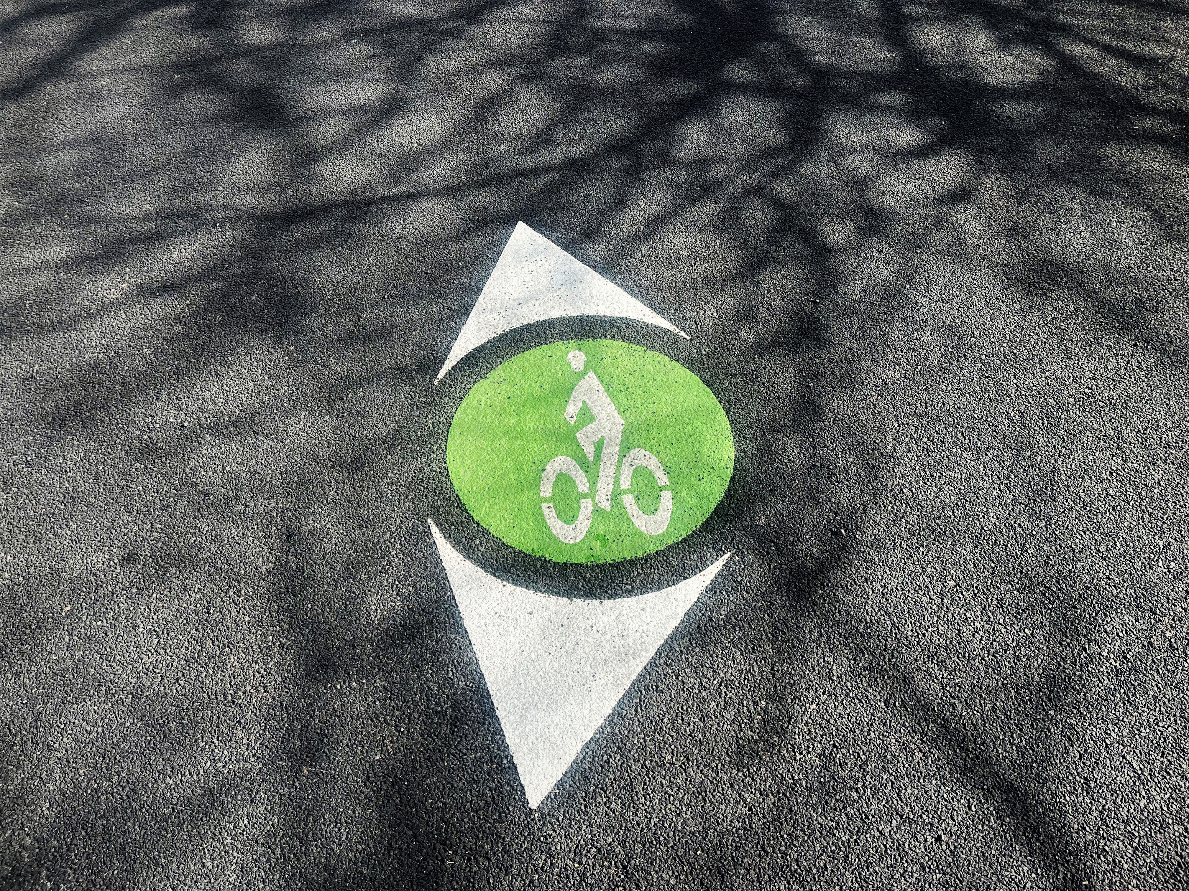
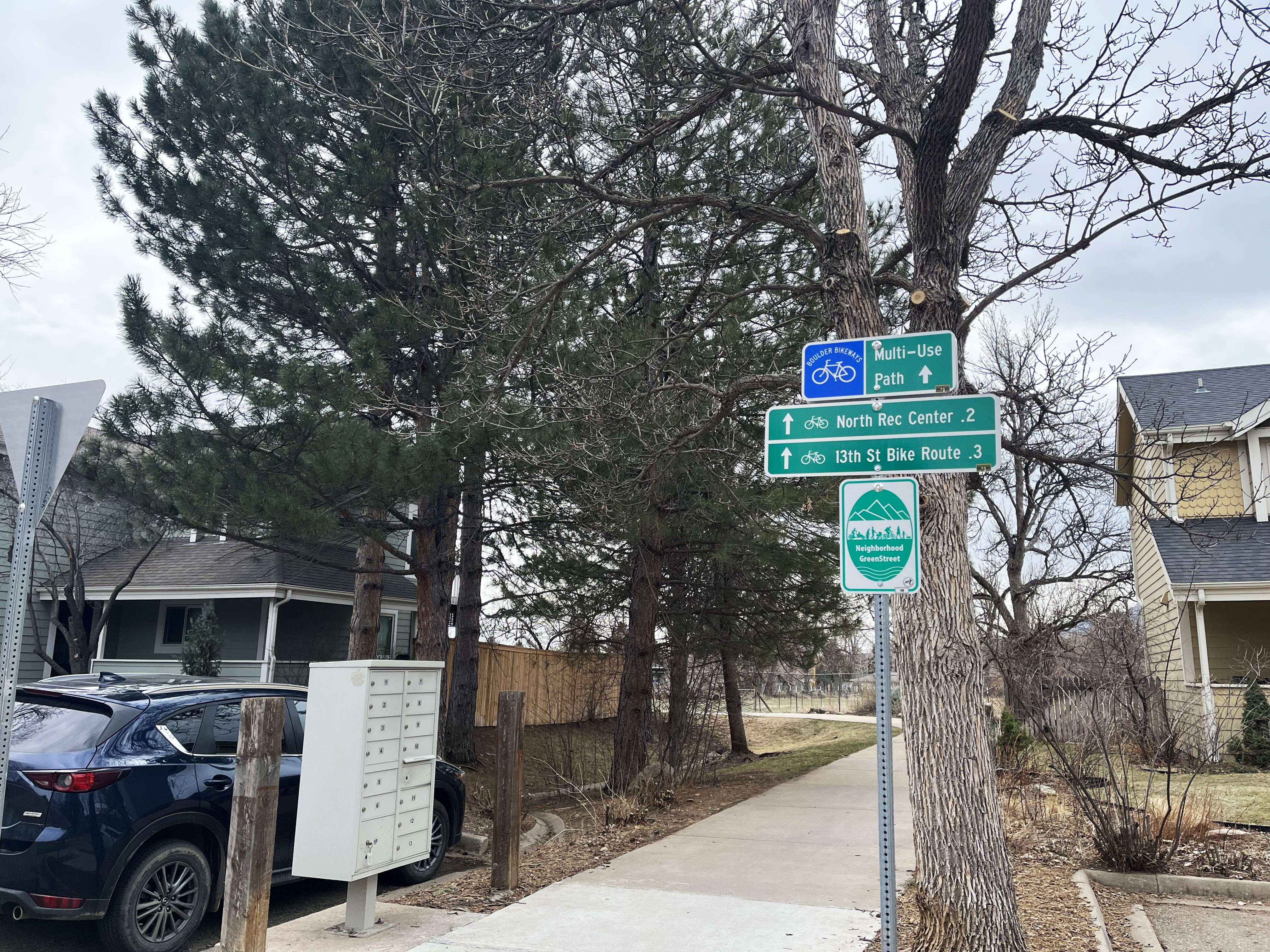
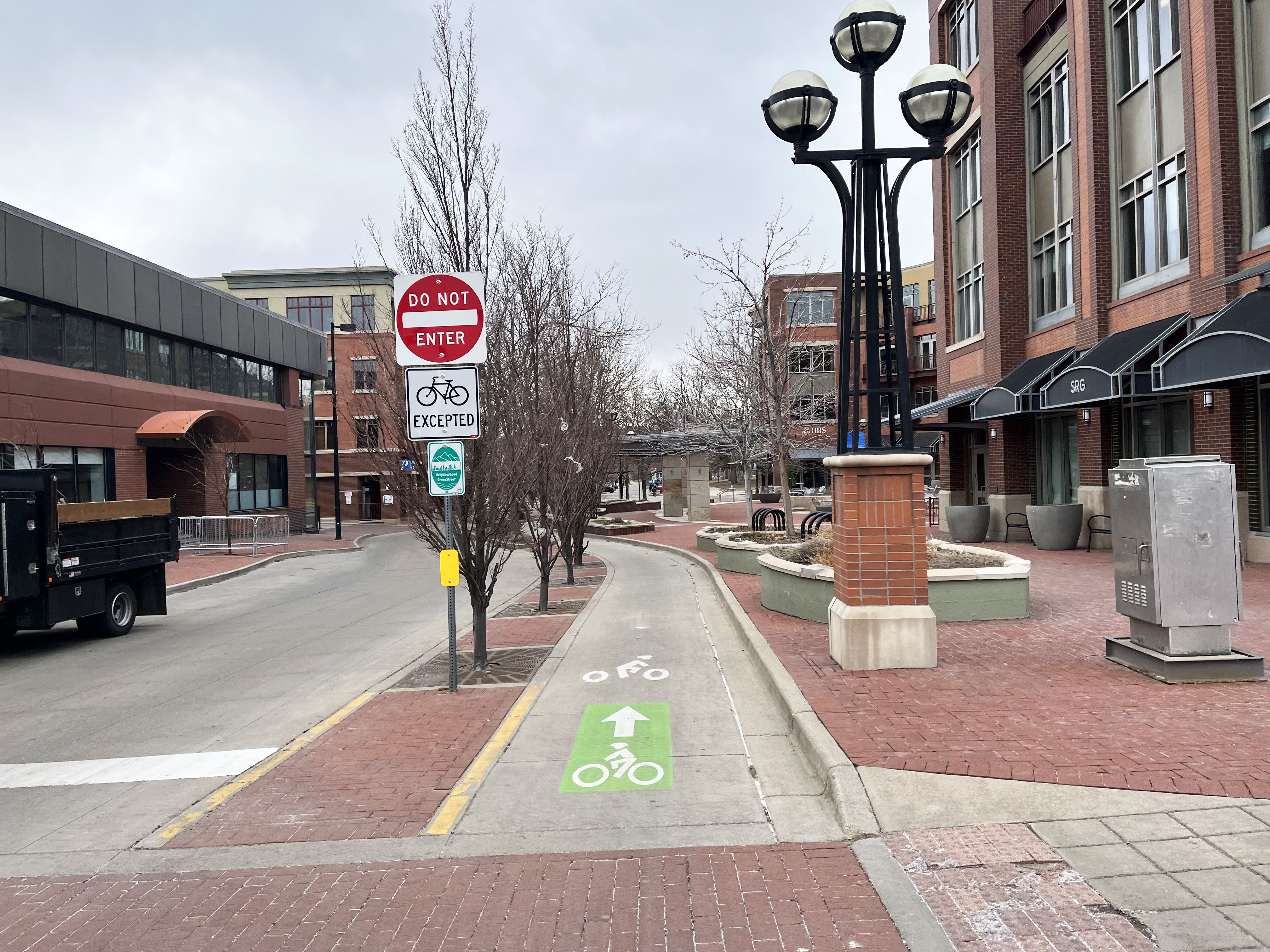
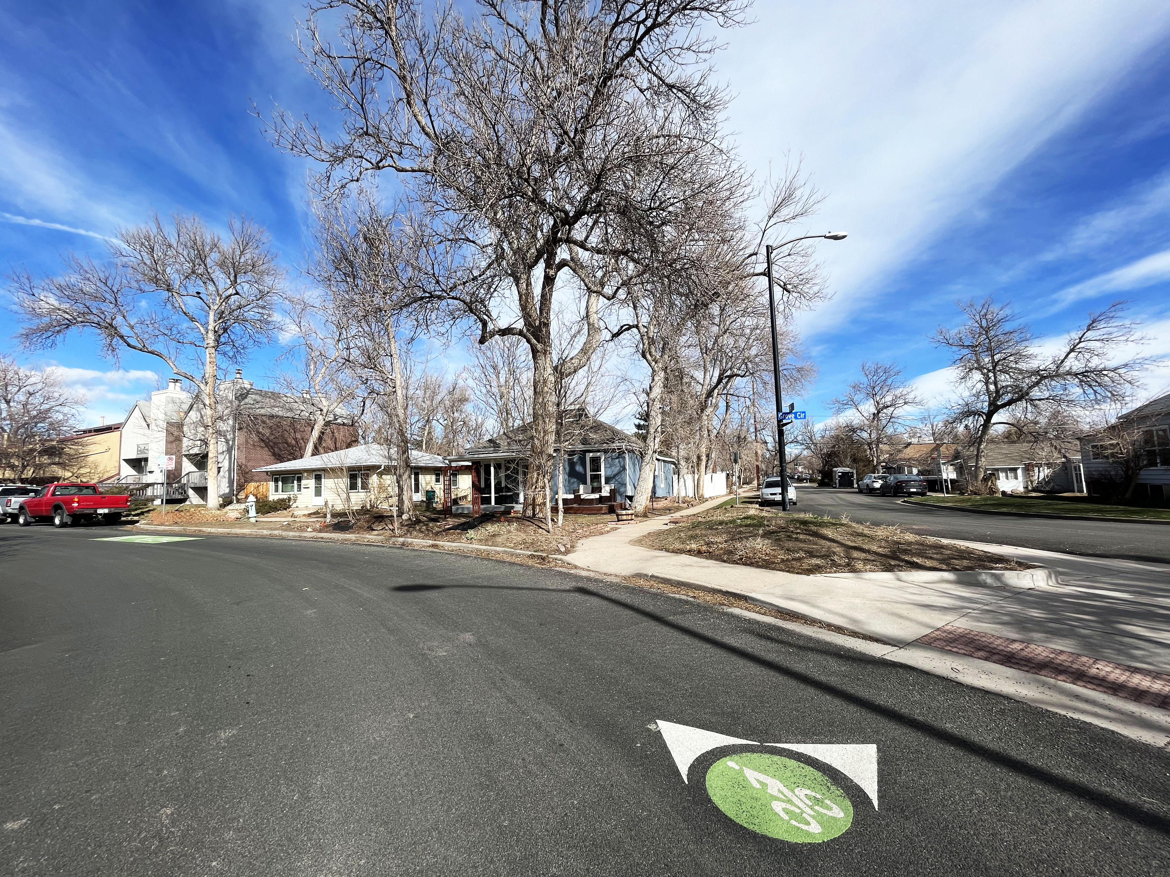
Green wayfinding circles, pavement markings and signs help people walking and biking navigate the corridor. Wayfinding also notifies people driving of the increased presence of people biking and walking on GreenStreets.
Image
Image
Image
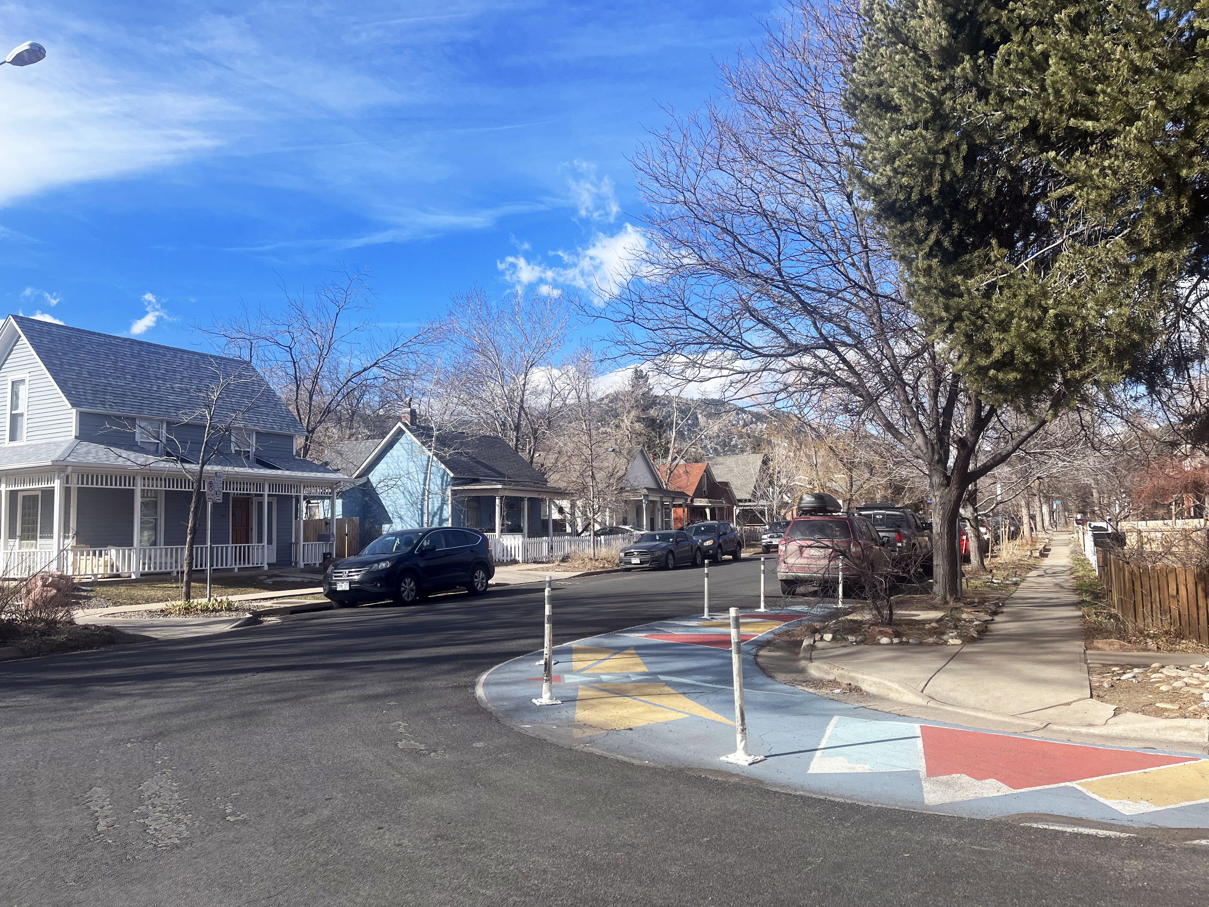
Curb extensions and additional posts and paint help slow turning cars and shorten crossing distances for pedestrians.
Image
Two-stage turn boxes provide a way for people biking to wait outside of the vehicle travel lane and crosswalk when making a left turn from the right lane. Learn about Boulder's first two-stage turn box or watch the video to see it in action.
Image
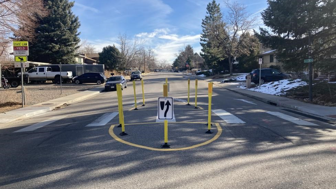
Traffic calming tools like speed humps and medians reduce vehicle speeds and can divert traffic onto streets with higher volumes of vehicle traffic.
Image
Existing GreenStreets
13th Street is in a central location, connecting key destinations including the North Boulder Recreation Center, Community Plaza Shopping Center, Casey Middle School and Downtown Boulder. It was an already well-known corridor that many people of all ages and abilities choose to walk and bike on.
Sections of 13th Street were identified through the Low-Stress Walk and Bike Network Plan as areas where improvements would significantly enhance the comfort and safety of pedestrians and bicyclists.
This finding, along with the street's low level of vehicle traffic, low speed and existing signal timing for bicycles made 13th Street a great fit for becoming a Neighborhood GreenStreet.
Image
Image
The Grove Street GreenStreet provides a safe and comfortable connection for travel between the downtown area and the shopping centers along Folsom Street. This GreenStreet improves our Low-Stress Walk and Bike Network by enabling people of all ages and abilities to safely get where they want to go by foot or bike.
Image
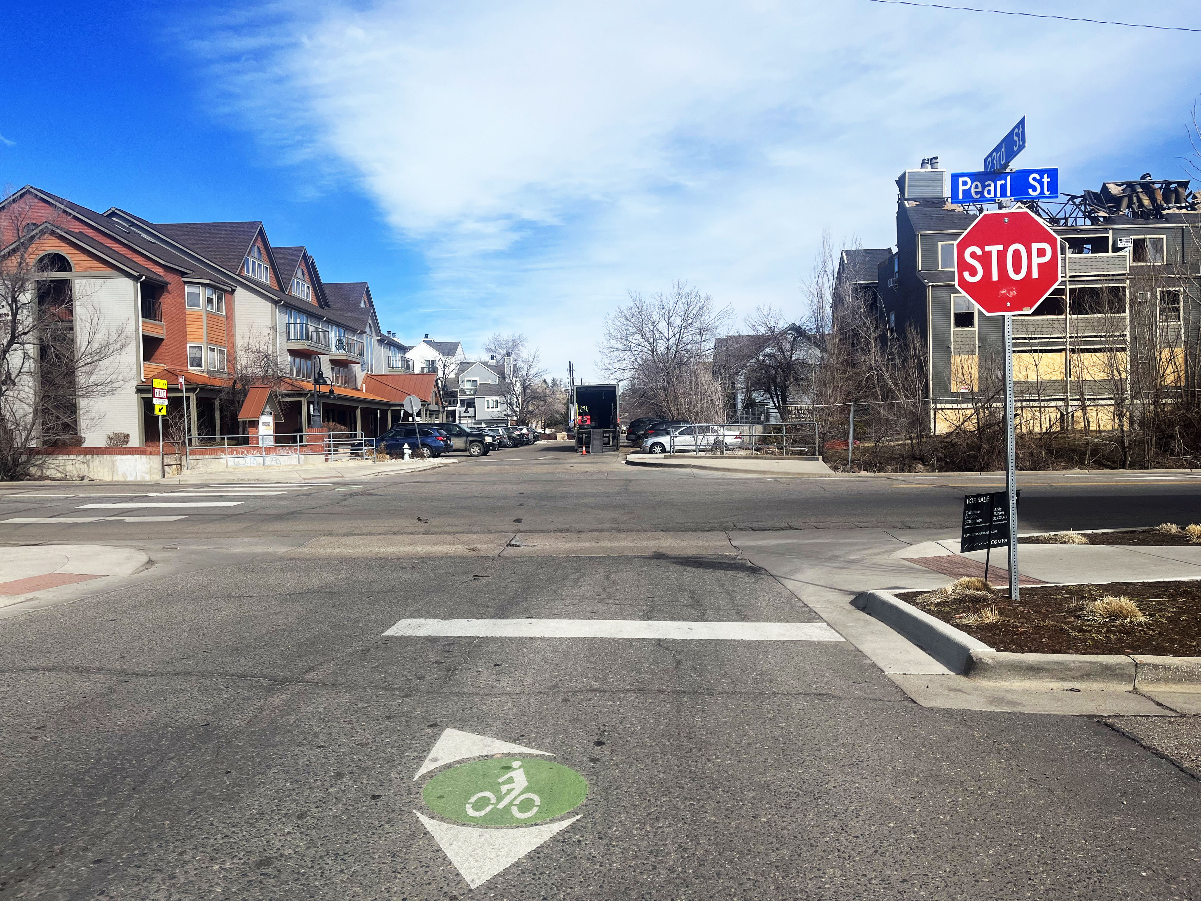
The 23rd Street GreenStreet builds on the Grove Street GreenStreet connection between downtown and Folsom Street by adding north and south connections. Together, these GreenStreets contribute to the city's Low-Stress Walk and Bike Network, creating safer and more comfortable streets that encourage a broader population of people to walk and bike.
Image