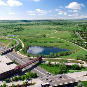
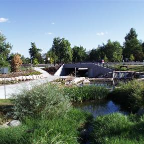
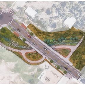
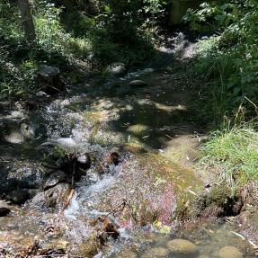
Project Overview

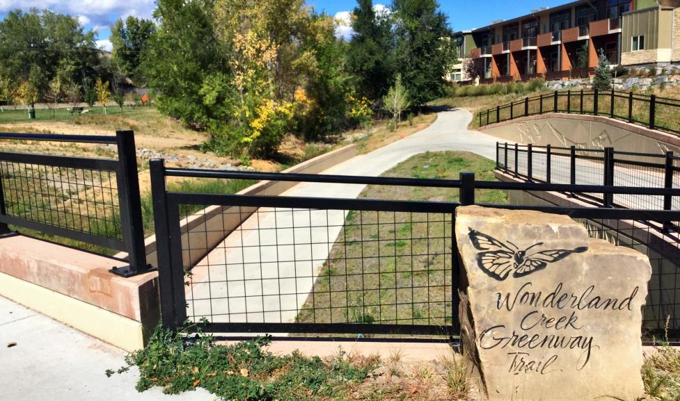
Wonderland Creek begins at Wonderland Lake in north Boulder and has a tributary watershed area of approximately two square miles. The creek flows southeast through the city to its confluence with Goose Creek near Pearl Street and primarily through residential developments.

Wonderland Creek Channel Improvements

The City of Boulder is partnering with the Mile High Flood District (MHFD) to conduct improvements and reestablish a low-flow channel to Wonderland Creek between 19th Street and Sumac Pond.

Winding Trail to Foothills Parkway

The Wonderland Creek project was completed in 2019. The project extends from Foothills Parkway in the south to Winding Trail Drive in the north. The purpose of this approximately $30M project was to provide channel improvements to contain a 1% annual chance flood (100-year flood). By creating these improvements, the city has reduced the flood risk to numerous structures located within the 1% annual chance flood area prior to the project. In addition, three new underpasses were constructed (1. at the BNSF Railroad 2. Kalmia Ave. 3. 28th Street) to provide safe passage for pedestrians and cyclists as the multi-use path system was extended from Foothills Parkway to 30th Street.

Current Remapping Process

The city has received approval of the Letter of Map Revision PDF from FEMA. The new floodplain map will be effective as of March 18, 2024.

Check out the video presented at the 2019 Colorado Association of Stormwater and Floodplain Manager's annual conference

Wonderland Creek at 19th Street

The City of Boulder's Transportation Department is currently in the design phase for improvements to 19th Street. Modifications to the Wonderland Creek culvert at 19th Street will be incorporated into this transportation project to assist with future flood mitigation efforts along Wonderland Creek.